

Listeners:
Top listeners:
 play_arrow
 Cosoro Afrobeats UK's #1 Afrobeats Radio Station
 play_arrow
 Cosoro Pidgin Na we bi di #1 UK Pidgin Radio
 play_arrow
 Cosoro Evergreen UK's #1 Radio for Timeless African Sounds


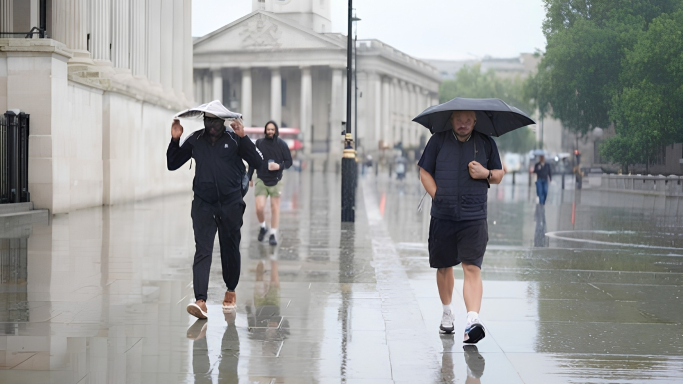
Large parts of the UK are facing another day of thunderstorms, torrential rain and possible flash flooding, with forecasters warning that unsettled conditions will continue after weeks of extreme heat and exceptionally dry weather. The Met Office has issued a yellow thunderstorm warning from 5am until 10pm on Thursday, covering parts of England and Wales. The warning was extended into more areas of eastern and south eastern England as the latest band of severe weather moved northwards. The warning covers areas including London and the South East, the East of England, the East and West Midlands, parts of northern and south western England and large parts of Wales.
Forecasters say a broad band of heavy rain and thunderstorms is expected to travel north across England and Wales. Some storms could become slow moving, increasing the amount of rain falling over individual areas within a short period. The Met Office said 20-30mm of rain could fall in an hour locally, while many areas could receive between 30mm and 40mm. Some locations could see up to 50mm in 12 hours, with a small chance of significantly higher totals in the worst-affected areas.
Alongside the heavy rain, frequent lightning, hail and gusty winds are possible. Hailstones of around 1-2cm have been forecast, while intense downpours could quickly overwhelm drainage systems and leave roads covered in surface water. The warning comes after Birmingham and other parts of the Midlands were hit by significant flooding, with cars left partly submerged and floodwater entering some homes following overnight thunderstorms. Emergency services have been responding to the disruption, while residents in some areas have been clearing blocked drains and culverts.
For motorists and commuters, the sudden change in conditions could create particularly difficult journeys. The Met Office has warned of poor visibility, surface water and sudden flooding, with possible delays and cancellations affecting road, rail and bus services. Some communities could also become temporarily cut off if local roads flood. The weather shift is particularly striking because it follows one of the UK’s longest and most intense periods of summer heat and drought. England and Wales have endured exceptionally dry conditions, leaving reservoirs, rivers and farmland under significant pressure.
That means the rain is something of a double edged sword. For drought-hit communities, farmers and water companies, the rainfall is badly needed. But heavy rain arriving in a short burst is not necessarily enough to solve the underlying water shortage. Instead, it can run rapidly across hard, baked ground, increasing the risk of flash flooding before the water has time to soak into the soil. Experts have warned that the UK needs weeks and months of sustained rainfall, rather than isolated thunderstorms, to properly replenish depleted rivers, groundwater and reservoirs. Overall reservoir storage in England remains well below the long-term average for this time of year.
The unsettled weather is expected to continue into the bank holiday weekend, with a mixture of showers, heavier spells of rain and occasional drier or sunnier periods. However, the exact location and intensity of thunderstorms remain difficult to predict because such storms can be extremely localised. The Met Office is urging people to check weather updates before travelling, particularly if they live in areas vulnerable to flooding. Anyone caught outdoors during a thunderstorm is advised to seek enclosed shelter and avoid standing under trees or near structures that could be struck by lightning.